According to Climatempo forecasts, a cold front forms and advances along the coast of Brazil, together with a chumidity area that comes from the Amazon. With that, rain tends to spread throughout the interior of the Southeast and Central-West regions from the weekend onwards, and the instabilities decrease in the South.
This Wednesday (19), there was a lot of rain in the southern states and even hail in São Miguel do Oeste and Bandeirante, in the west of Santa Catarina. Producer Aldemiro Munerolli, who cultivates smoke in this last municipality, he states that the storm caused a total loss of 60 thousand feet of the plantation.
With the changes in time, the South will have a slightly firmer period between Saturday (22) and the beginning of next week.
Rain returns to productive areas
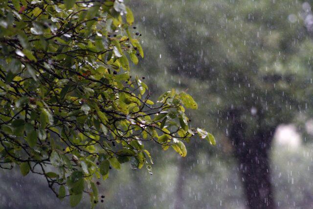
As the cold front advances, rain returns to important producing areas in the interior of the country. This occurs especially in Minas Gerais, Goias and Mato Grosso, which should record high volumes of rain in this period between Saturday and the beginning of next week.
This weekend, instability should also spread to areas of Matopiba. Moderate to high volumes of water are expected in the western Bahia and Tocantins. OPará and the west of Maranhão should receive even more significant volumes. This rain should start to increase soil moisture in the northern half of the country, which should effectively stabilize during November.
Temperature
The expectation is a sharp drop in temperatures in the South over the weekend. With the cold front moving away from the region and the advance of a cold air mass, temperatures are expected to drop significantly during the early hours of the morning, especially on Sunday, when minimums of slightly below 10 °C are expected in several locations.
Na central area of Brazil and in the North, the highlight is the decrease in heat. Temperatures in this part of the country have been high in recent days, especially in some oil-producing areas. soybean from Mato Grosso.
With the advance of the cold front in the second half of the week, this heat should ease a little. The thermal sensation should decrease over the Center-North, with rain spreading a little more over the next few days.